Many exciting things hide beneath the surface of Budapest, most of which we often have no idea about, and no opportunity to view. The research work of Katalin Zsoldi, a doctoral student of ELTE’s Department of Cartography and Geoinformatics, provides fascinating perspectives on the city’s underworld. On her website, we can view 3-D maps of underground bunkers and hidden passages in video form.

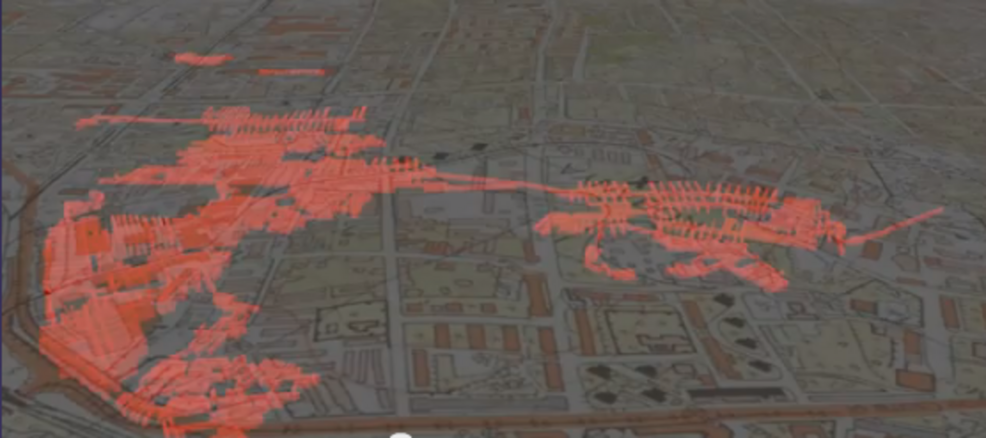
The Kőbányai cellar system is obviously located beneath Pest’s Kőbánya district, which has a historic mining industry, with tunnels stretching over 30 kilometers long with passages that vary dramatically in height and depth. Since the cellar system belongs to a brewery and the District X municipality, it is used for storing beer and tinned products, and for growing mushrooms.
One of the city’s most intriguing underground hubs is at Deák Square. On this video, we can see the yellow (M1), red (M2), and blue (M3) metro lines. The underpass and the lines’ connecting stations are marked with light pink, while the M4 line is green, and the main sewers are brown. The cellars are marked with dark pink, the shelters with orange, and the underground garages ended up dark purple.
The most interesting map is probably that of the infamous Rákosi bunker, a relic of the Cold War. The formerly secret nuclear shelter was built at the time of the M2 metro construction, and it is directly connected to the metro line and the former headquarters of the Hungarian Working People's Party (Magyar Dolgozók Pártja), built to provide shelter for 1950s communist leader Mátyás Rákosi and the Central Committee members of the Hungarian Working People's Party, in case of a possible nuclear attack. During the 1960s and 1970s there were only rumors circulating about it, but the nuclear bunker – located nearly 50 meters beneath Szabadság Square – was finally uncovered as reality after 1981. The colors are the same as with Deák Square; the M1, M2, and M3 metro lines are colored with yellow, red, and blue, respectively. The underpass is marked with light pink, the main sewers are brown, the cellars are dark pink, the shelters are orange, and the underground garages remain dark purple.
In another amazingly revealing video, we can see the map of Gellért Hill. The M4 metro line below Saint Gellért Square is marked with green, while the main thermal spring, marked with blue, is used to provide Gellért Bath’s water supply. At the same time, the Gellért Tunnel, marked with pink, connects the Gellért, Rudas, and Rácz spas. The thermal water wells springing from the tunnel are marked with blue, and they supply these baths with water. Dark green marks the Cave Church.
On the last video, we can see the II. János Pál Pápa Square, formerly named Köztársaság Square (“Republic Square”), and Keleti Railway Station. The map displays the presumed route of a tunnel system (translucent pink) about which there are many nefarious urban legends: these passages were used during the communist era, and hundreds of people may have disappeared here. At the Keleti Railway Station, we can also view the M2 and M4 metro lines, the transfer option, and the underpass.
We are grateful for this revealing look beneath the streets of Budapest – this project certainly piques our curiosity about what might lie behind the walls of some of our favorite basement pubs!


