A few kilometres west of Budapest, around Érd, lies the village of Sóskút, a quiet settlement primarily famous for its quarry. Those in the know come here to enjoy a scenic day out, following winding paths working their way through the Kálvária hills, around nearby Peca Lake and between dramatic rock formations. The hike is a loop, bringing you full circle as you admire the scenic highlands and take in a landscape populated since the Bronze Age.
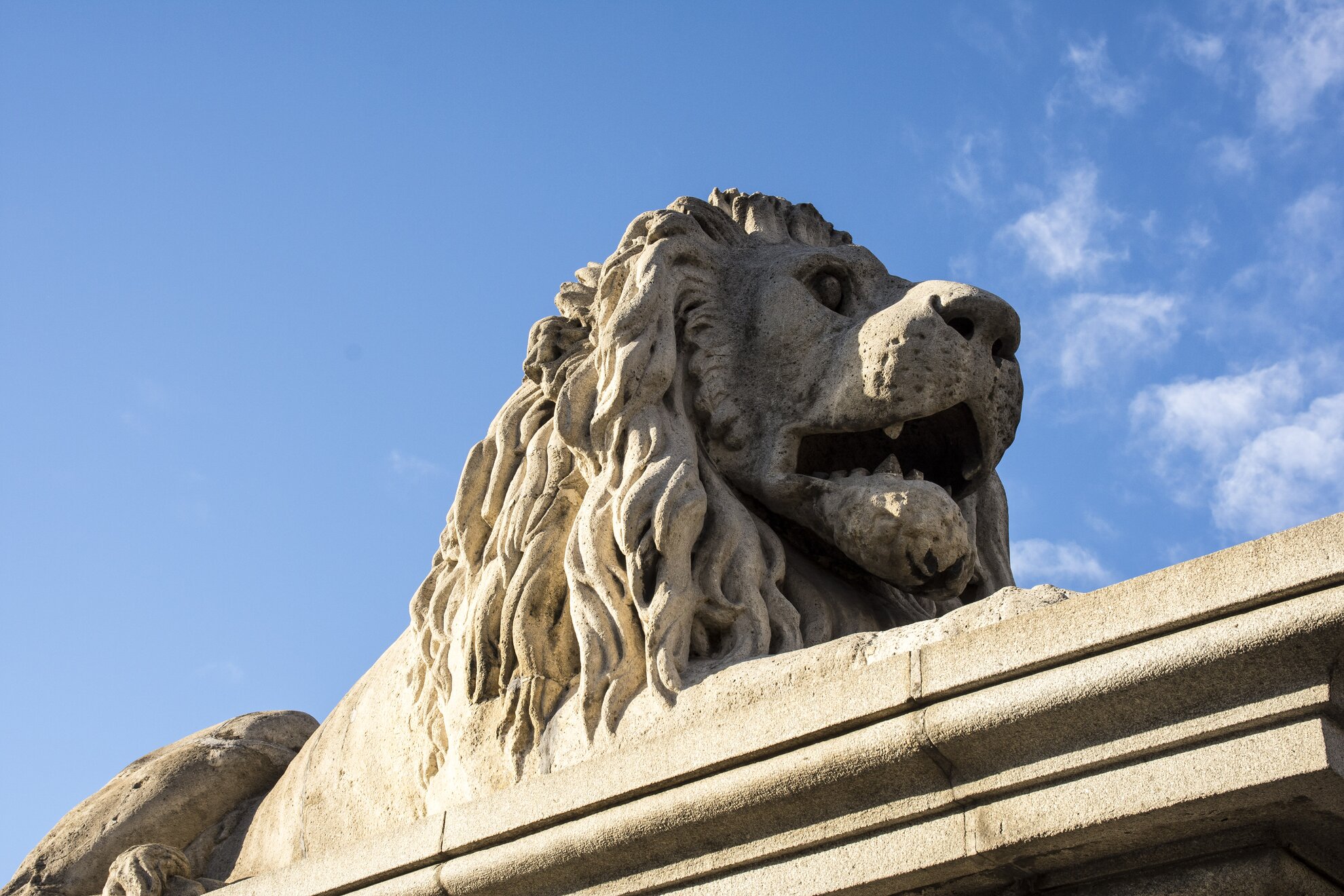
Many of the houses in the village of Sóskút look medieval, built of huge rock blocks mined from the nearby quarry for hundreds of years. The stones from the Sóskút mines can be found in the Vienna Opera House, as well as the Basilica, Parliament and the Opera House here in town. Even the Chain Bridge, and structures in the Castle District, are built from Sóskút stone, including the revered lions at the bridgehead.
Famed architect Miklós Ybl even took part here in extracting rock from the area, and for more than 40 years the village was connected to Tárnok railway station by horse-drawn transport. It was from there that the mined stones were taken to their final destinations.
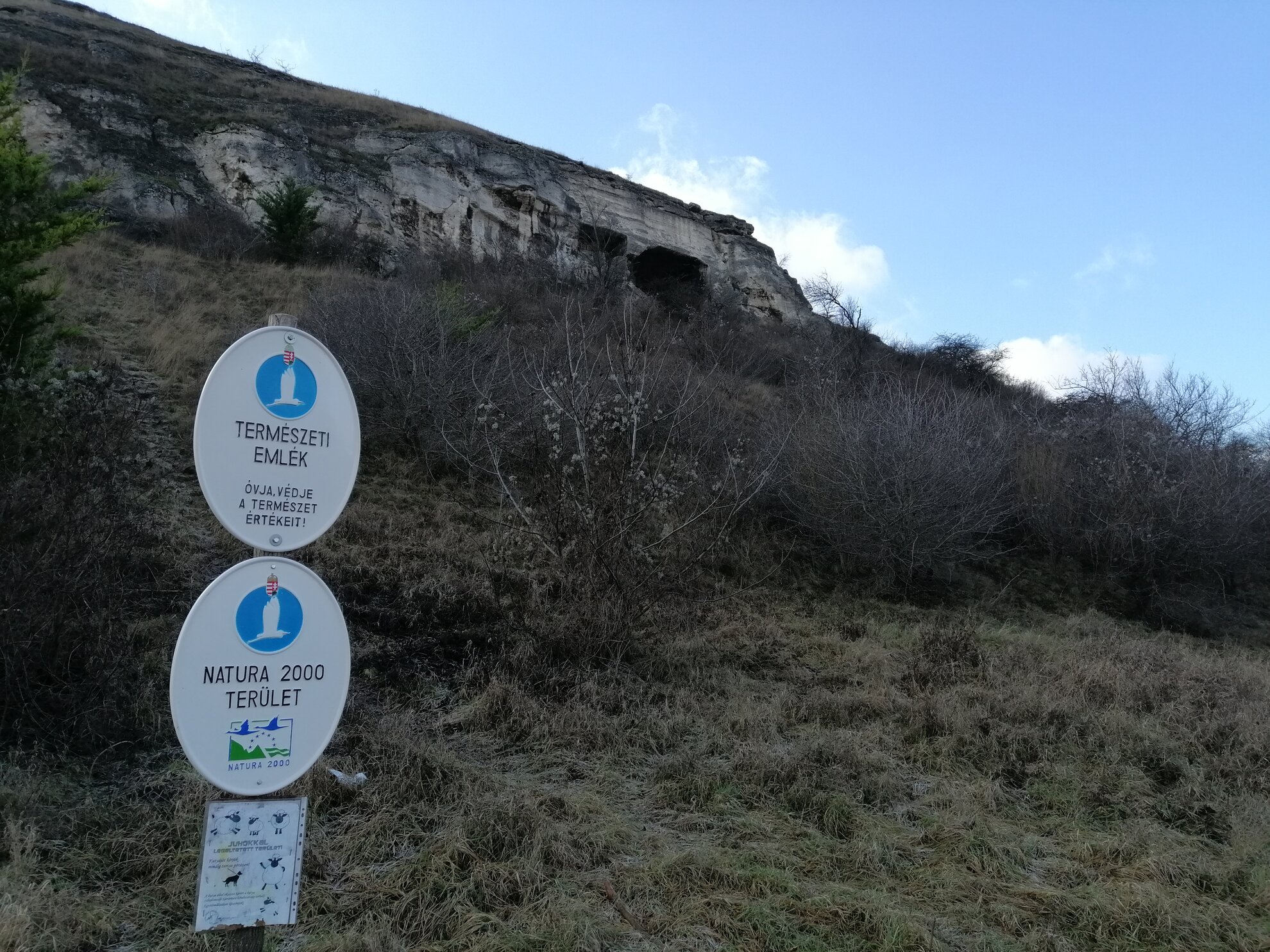
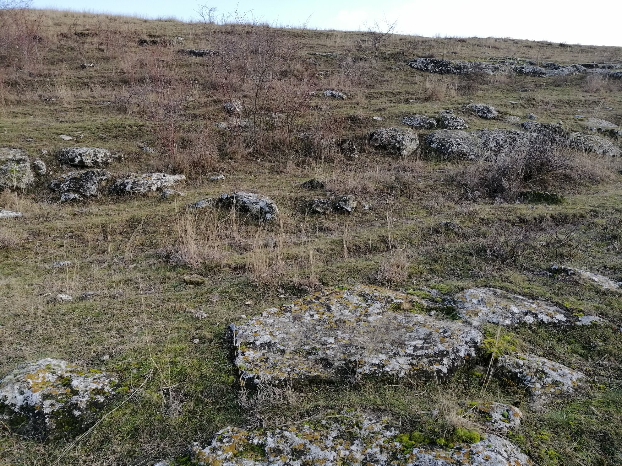
Approaching
Sóskút from Biatorbágy, from a distance you see the gaping rock cavity of the
old quarry on Kálvária hill. There are several smaller
ones, as well, the result of expansions over the years. It’s possible to access
these old quarries, but it's not easy – the climb up is a scramble over steep,
stony ground, and descending is no easier.
Approach with caution, wear good shoes and keep your balance!
According to the records, Sóskút has stood in its present location since the 1200s, but
archaeological evidence and historic research indicate that even earlier
settlements may have existed in the area.
An old Roman military route
passes through Kálvária hill, and Hungarian tribal leader Árpád allegedly organised his campaign
to conquer Transdanubia from this spot. Even remains of a Bronze-Age stronghold have been discovered by archaeologists, so the land has seen much human activity for millennia.
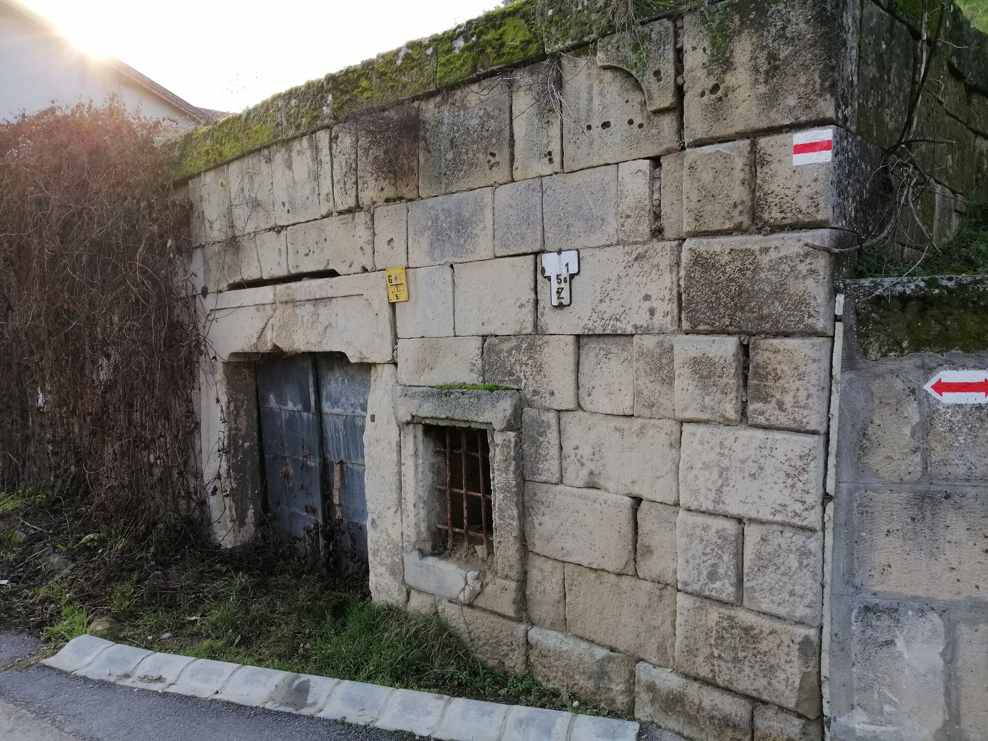
Nowadays
the village is a charming retreat, with friendly residents and hiking trails
branching out from the village centre, indicated by red signs. The road first takes
you to the top of the hill via a bushy path which winds between houses,
and then joins the much larger dirt road.
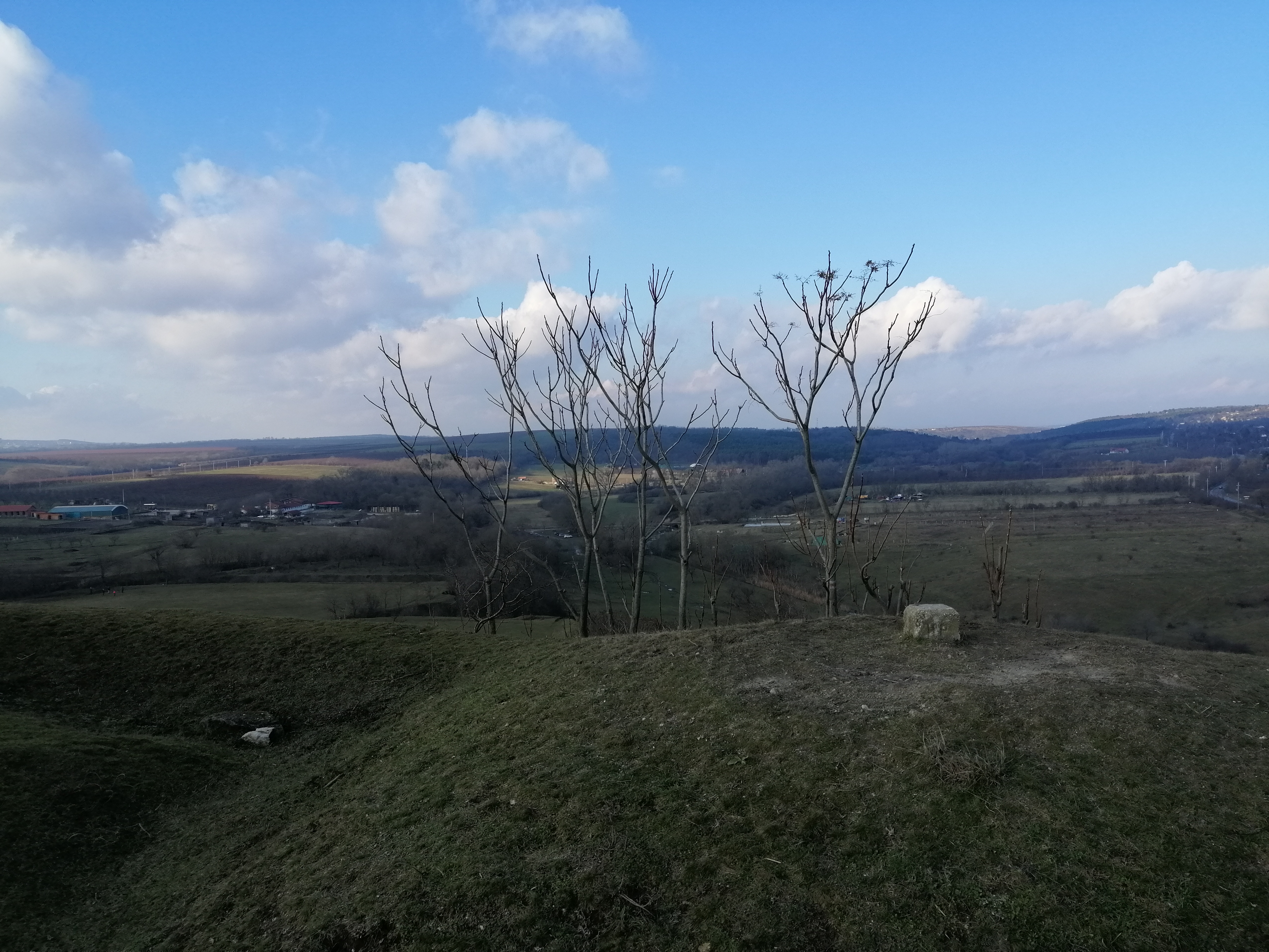
There are a total of 14 religious
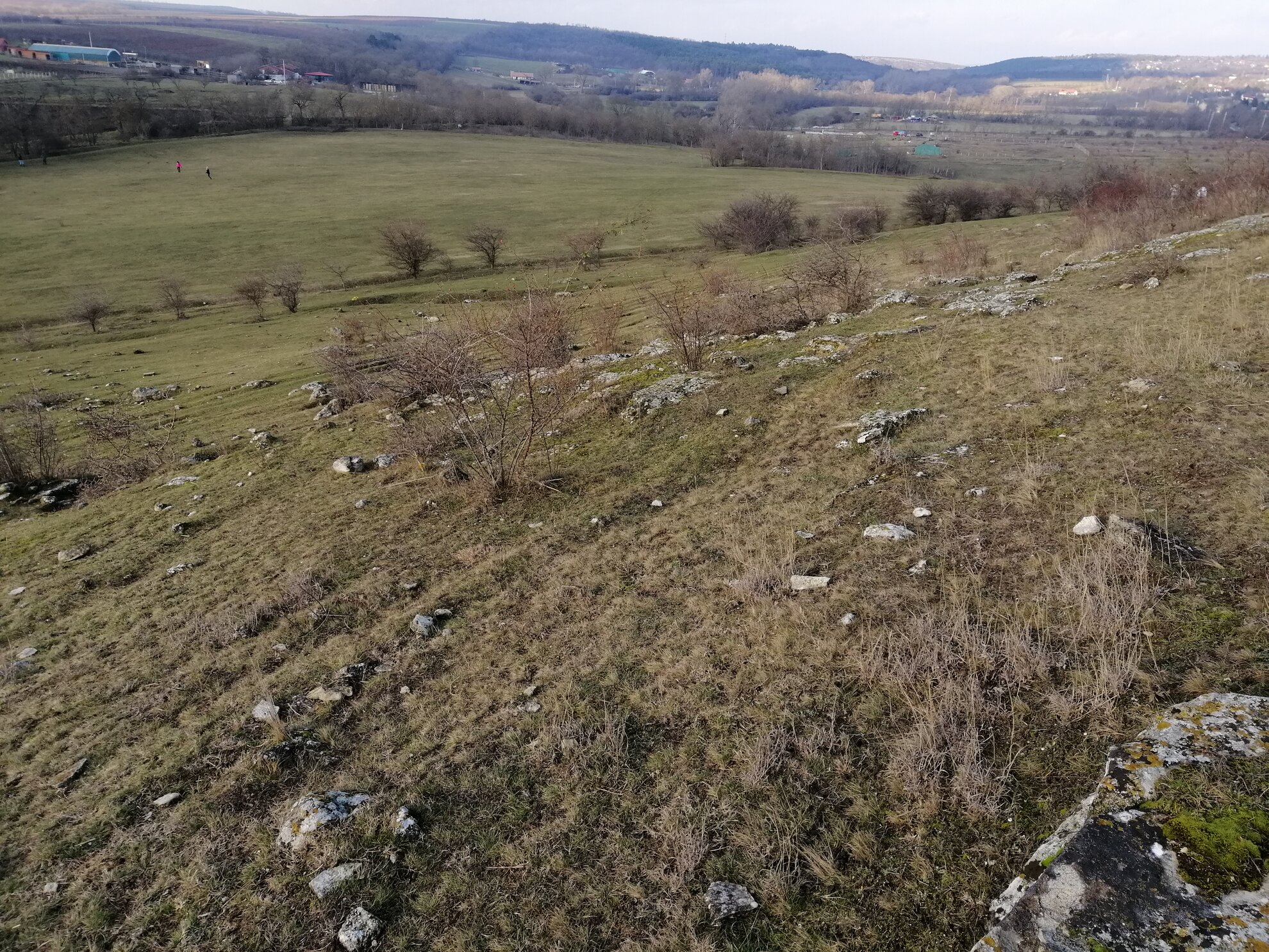
stations along the way, showing Jesus on the cross. At the end of these, you reach the summit, with panoramic views of the surrounding hills, valleys and villages. It’s an area reminiscent of the Scottish Highlands or the set of a Tarkovsky film.
To climb down to the largest rock
cavity, somewhat like a dragon’s cave, this is the point at which to do so,
as it’s easiest to reach from the top. But remember to be alert and careful!
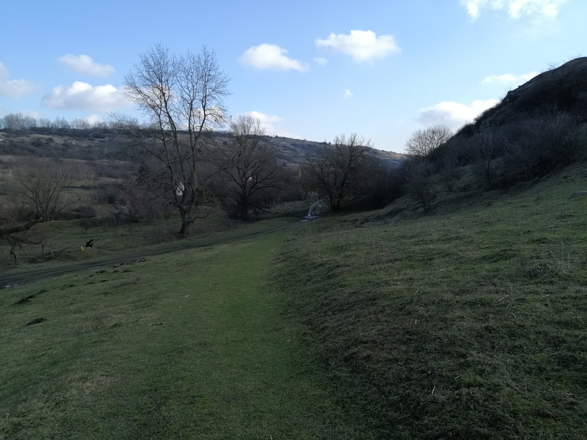
Continuing
to follow the red signs, make your way down the barren, wind-swept hillside,
trekking down a path dotted with rock formations, until you come to a more
forested part on the banks of the Benta stream.
On the other side of the trees
is Lake Peca, a fishermen’s paradise, with calm waters between the
cottages and trees. From here, leaving the lake behind, you return slowly to the
village, back to where you began.