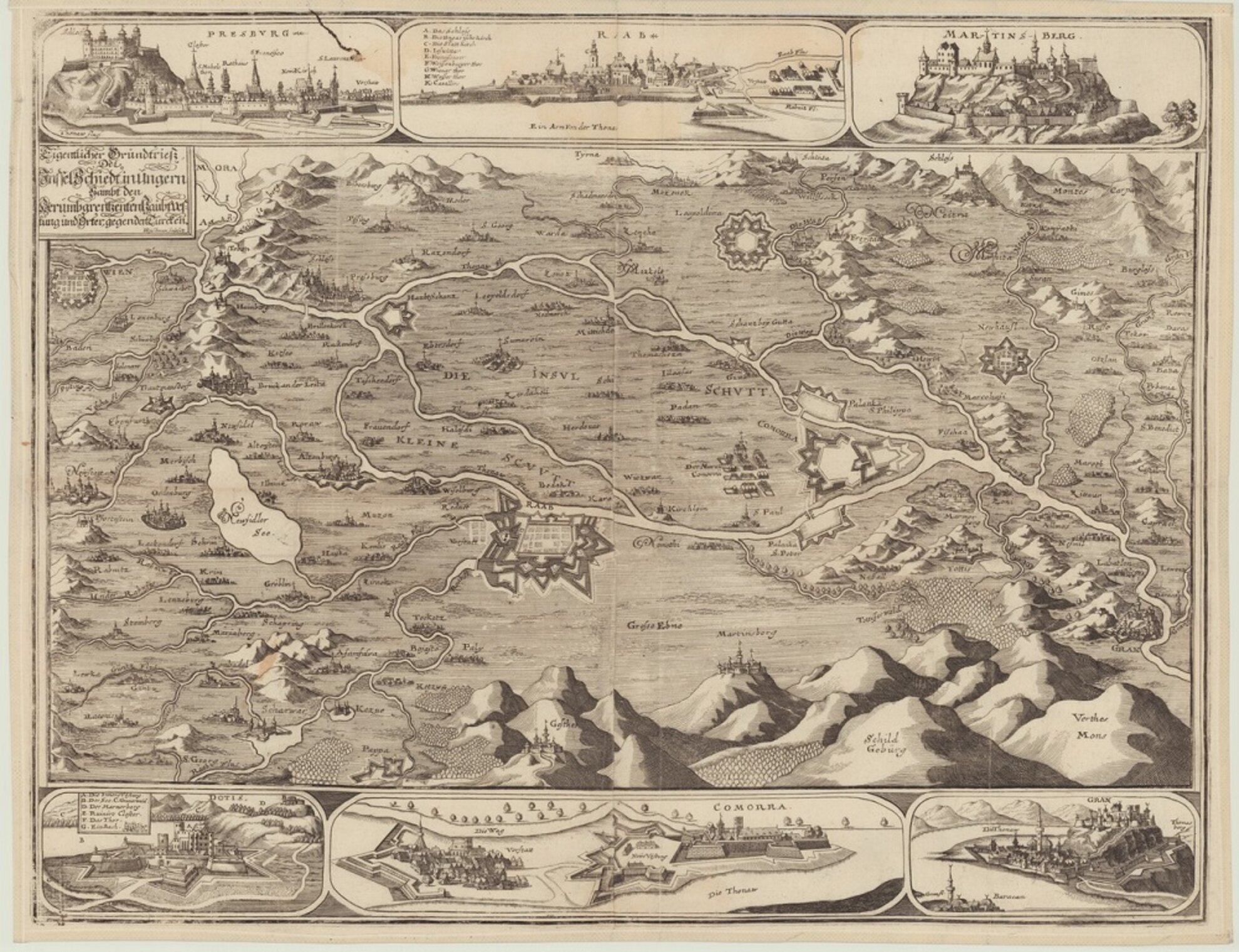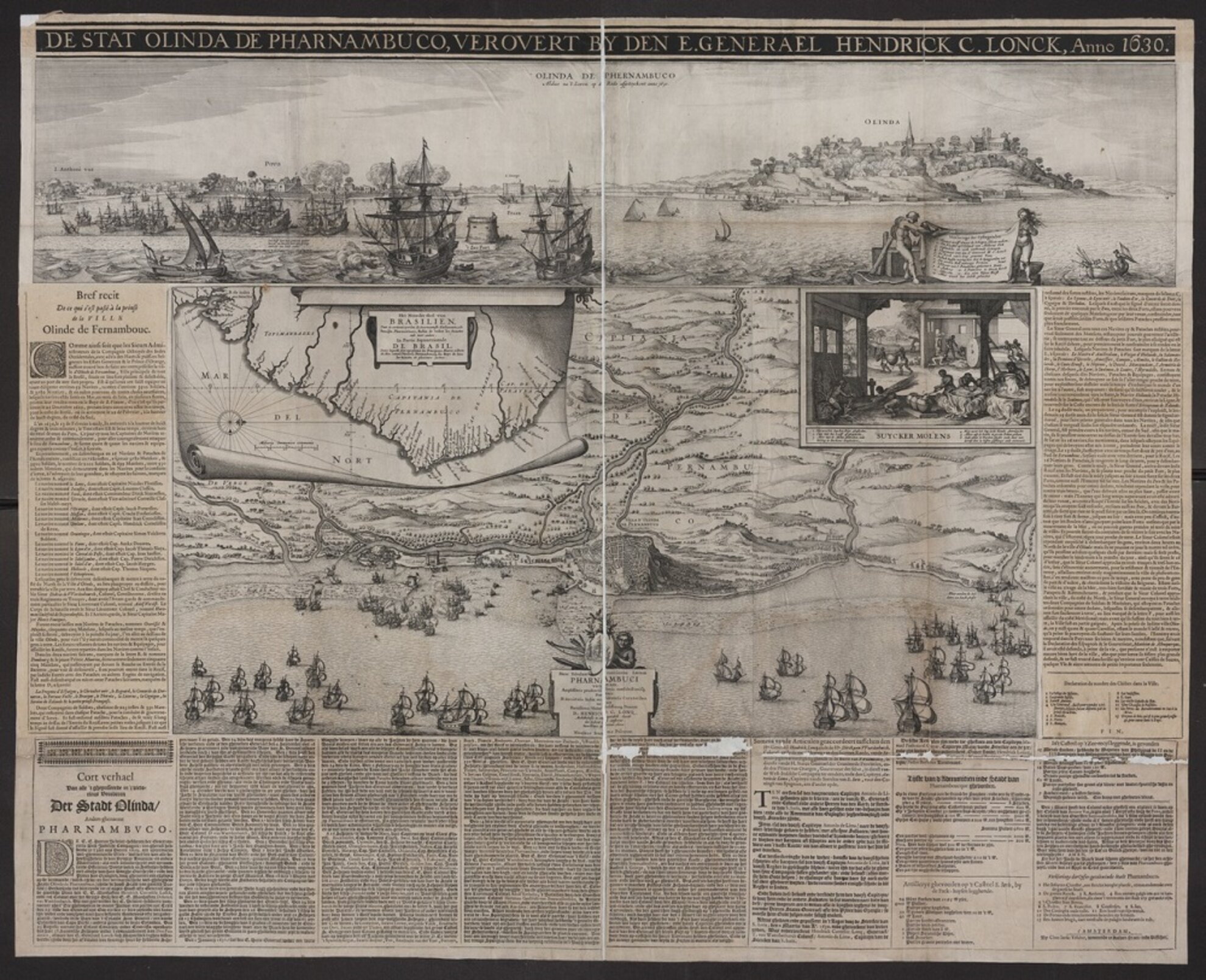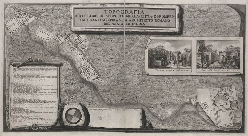
Thanks to the National Széchényi Library, a database mainly containing 18th- and 17th-century Hungarian and foreign maps are now available free of charge. Almost a thousand maps have been posted up on a site called Földabrosz, but the collection is still being updated. The oldest piece is a historical map made in 1614 depicting Ancient Greece. The digitialised maps found in the complex search engine are available in good-quality and royalty-free downloadable format.

In Hungarian, the resource has been categorised by ‘Historic’, ‘Military’, ‘City’, ‘Maritime’ and ‘General’ maps, also broken down by geographical region – section titles can be reasonably easily translated while original map titles are generally in German or French. Intricately detailed bibliographic data for each is in Hungarian.


