1/5
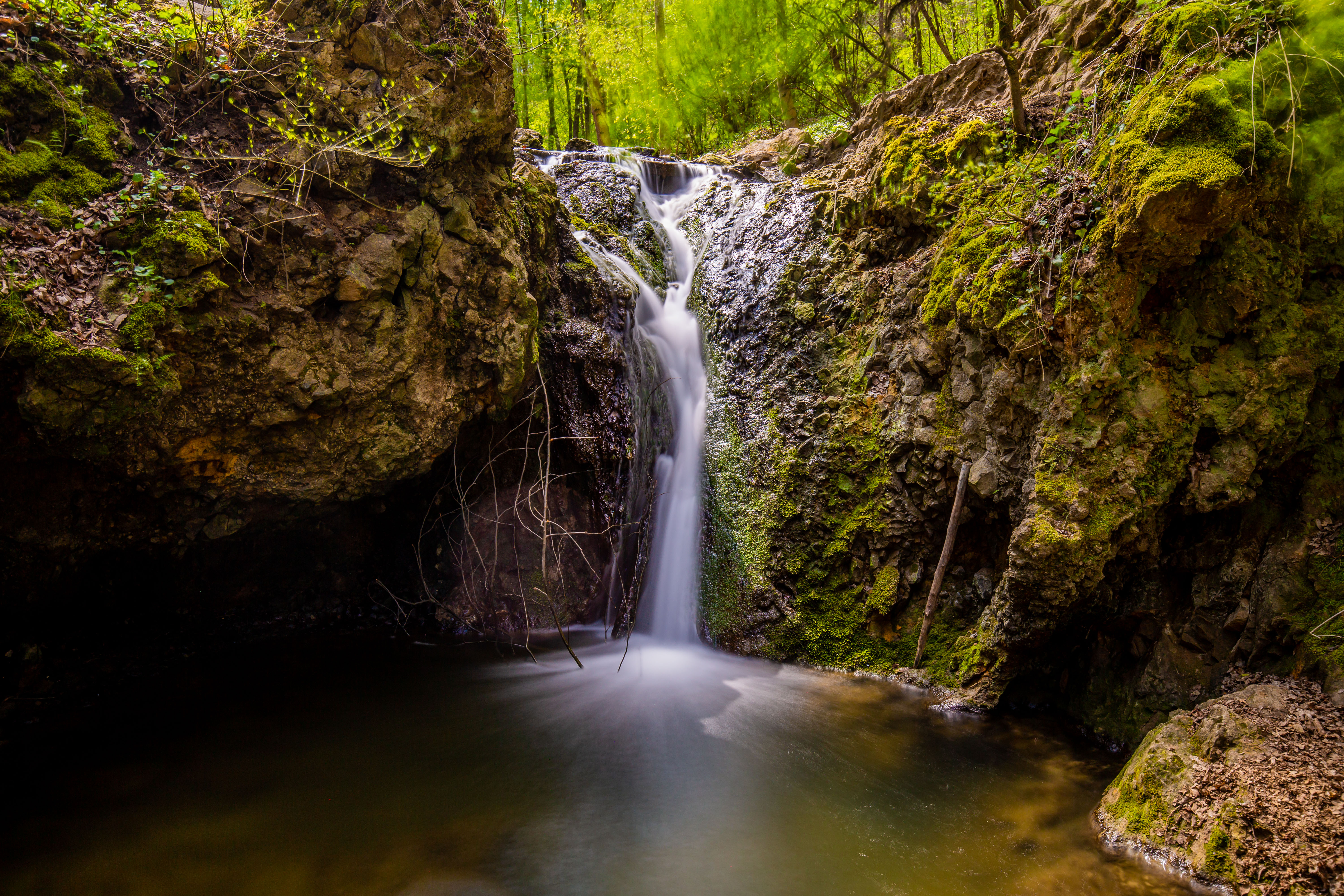
Lower Jegenye Valley
A hiking spot on the northern outskirts of Buda, close to Solymár, the Lower Jegenye Valley
is popular for its charming little waterfalls and the wooden bridges
winding over the Rózsika Spring. There is something magical about this area; we could watch Little Red Riding Hood scurrying along, swinging her basket, or
the Seven Dwarfs whistling on their way to work without raising an eyebrow.
The valley offers a pleasant afternoon stroll in the woods, and if you add a
little more elevation, you can also aim for Solymár Castle on the hilltop
after the meadow.
How to get there?
- By car: See Google map coordinates here
- By public transport: Take bus 164 / 264 / 64 / 64A from Hűvösvölgy to Anna kápolna
2/5
Teknős Tanösvény (Turtle Nature Trail)
Behind a large department store in Dunakeszi, next to the motorway on the northern outskirts of Pest, you’ll find a surprise from nature: a marshland. You can walk on
wooden stairs and look out over the water and the bush from a lookout. The
wildlife walk is less than an hour from Budapest, and you can do the 7-stop
mini-tour in an hour and a half at a comfortable
pace, stopping here and there. And with a bit of luck, you might even meet some
local folks – turtles, as the route is called Turtle Trail for a reason.
How to get there?
- By car: See Google map coordinates here
- By public transport: Take bus 104 from Újpest - Árpád út hajóállomás to Dunakeszi, Auchan áruház
3/5
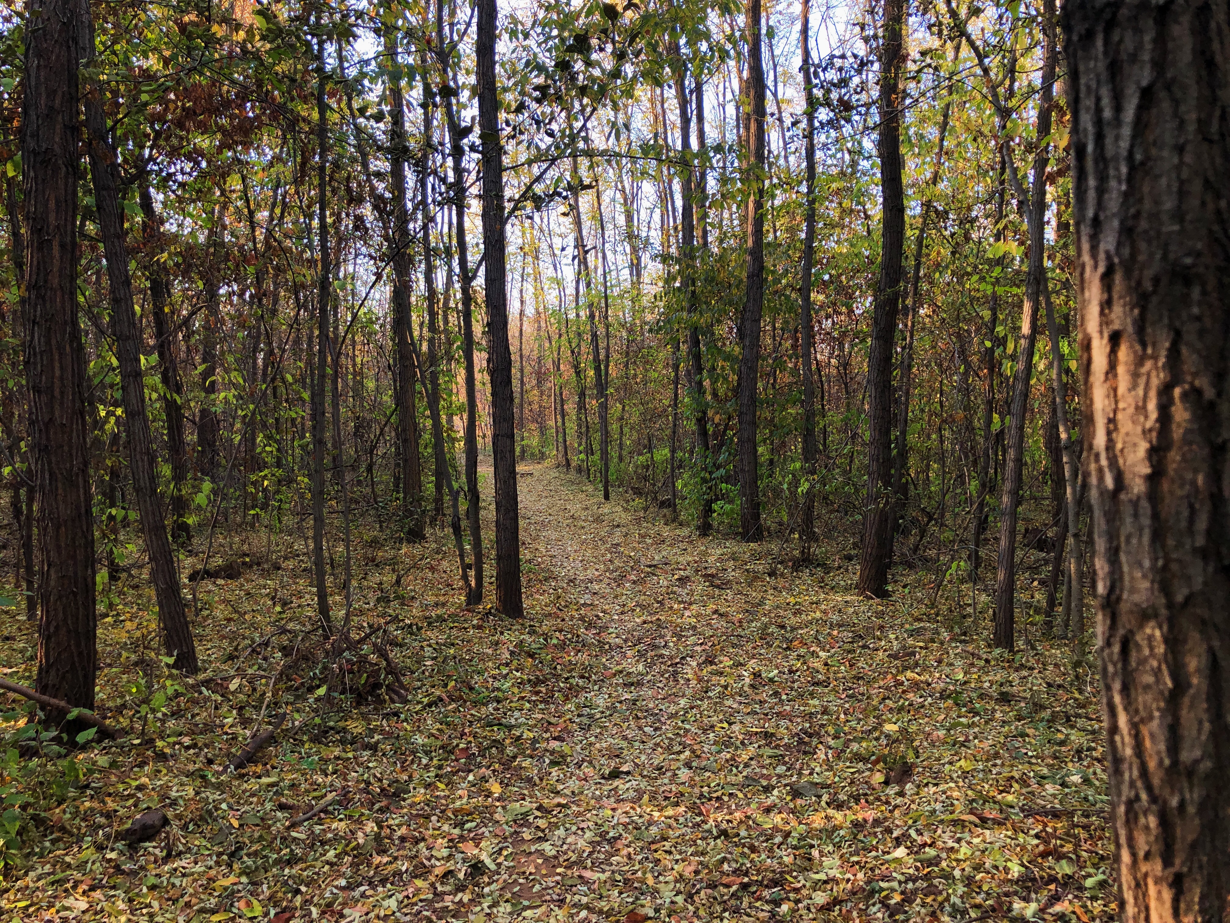
Keresztúri Forest
This beautiful hiking
spot is not in Buda, but on the Pest side, in the Keresztúri Forest (Keresztúri-erdei tanösvény) on the border of Kőbánya and the 17th district. Even though the
trail is located in the city, after just a few steps, you feel like you’re
walking in a remote countryside, far from civilisation, where there are
no houses, no cars, no people, just you and nature. The romantic, borderline
cheesy experience even offers a twist with the wild, ivy-covered trail:
at one point, a World War II observation post, anti-tank and approach trenches
cross the path.
How to get there?
- By car: See Google map coordinates here
- By public transport: Take bus 168E from Örs vezér tere to Újmajori utca
4/5
Szent Jakab Trail
This one might be the furthest away from Budapest, to the south: the trail near the
village of Dabas is a veritable two-in-one area; a hiking spot that is also part of the Hungarian Pilgrims’ Route (Magyar Zarándokút). In the marshy
countryside, you can walk on wooden bridges built on stilts, and the
path winds around, sometimes leading to smaller islands. There is even a lookout
tower on one of them, from where you can scan the whole area and plan where to go. And worry not, you won’t get lost here as the Szent Jakab Trail is
one of the shorter walks.
How to get there?
- By car: See Google map coordinates here
- By public transport: Take bus 626 / 628 / 1080 from Népliget to Dabas, Sári híd
5/5
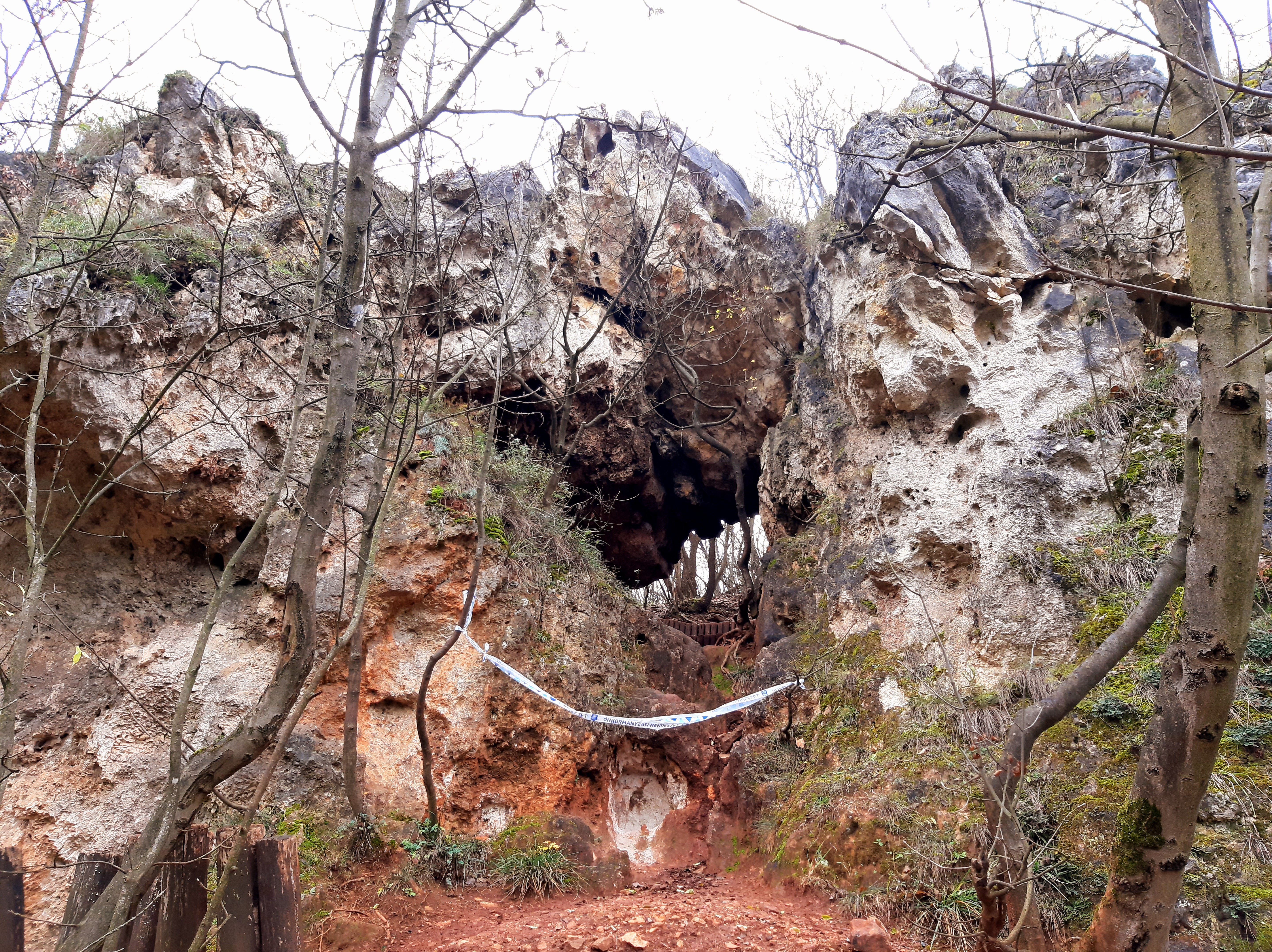
Apáthy Rock – Árpád Lookout – Kecske Hill circular tour
The fifth hike is for those who found the above selection easy-peasy, yet wouldn’t kick off the season with the most
challenging hike. This circular tour, including the Apáthy Rock, the Árpád Lookout, and the Kecske Hill, is not a short and relaxed one: you have to climb uphill and break a sweat. Call it a demanding walk, or a fairly comfortable and easy hike, it's a good choice. An added bonus is that it’s in town, halfway to Hűvösvölgy.
How to get there?
- By car: See Google map coordinates here
- Public transport: Take tram 61 from Széll Kálmán tér to Nagyhíd